
In a report as part of Bold Pursuits, CNN highlights how artificial intelligence (AI) is being used to detect new archaeological sites in the Rub al-Khali ‘Empty Quarter’ on the Arabian Peninsula.
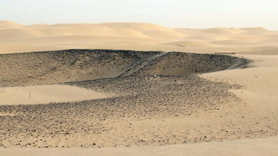
Researchers at Khalifa University in Abu Dhabi have developed a high-tech solution for searching huge, arid areas for potential archaeological sites in the vast 250,000 square mile desert. Traditionally, archaeologists use ground surveys to detect potential sites of interest, but that can be time-consuming and difficult in harsh terrains like the desert. In recent years, remote sensing using optical satellite images has gained popularity in searching large areas for unusual features — but in the desert, sand and dust storms often obscure the ground in these images, while dune patterns can make it difficult to detect potential sites.
The team created a machine learning algorithm to analyse images collected by synthetic aperture radar (SAR), a satellite imagery technique that uses radio waves to detect objects hidden beneath surfaces including vegetation, sand, soil, and ice.
Diana Francis, an atmospheric scientist and one of the lead researchers on the project, trained the algorithm using data from a site already known to archaeologists. She explains, "Once it was trained, it gave us an indication of other potential areas (nearby) that are still not excavated."
In collaboration with Dubai Culture, the government organisation that manages the site, Francis and her team conducted a ground survey using a ground-penetrating radar. Francis adds that the technology is precise to within 50 centimetres and can create 3D models of the expected structure that will give archaeologists a better idea of what is buried below.
Khalifa University is not alone in using artificial intelligence to detect potential sites. Amina Jambajanstsan, a PhD student at the Max Planck Institute for Geoanthropology, is using machine learning to speed up the "tedious job" of searching through high-resolution drone and satellite images for potential sites of interest. Her project, which focuses on medieval burial sites in Mongolia has uncovered thousands of potential sites that Jambajanstsan says she and her team could never have found on the ground.
Jambajanstsan says that while the cost and computational demands of SAR imagery could be a barrier to usage for a lot of researchers, the method is valuable for desert regions where other technologies struggle — and is one she would consider for the Gobi Desert in Southern Mongolia, where her "normal optical imagery" is not yielding results.